The creation of a Digital Twin or Digital Twin is possible thanks to a system of surveying and reality representation that allows for the mapping of the chosen subject, whether it is territory, building or other.
Mapping allows for the creation of spherical images and 3D point clouds of very high detail with centimeter accuracies, achieved by LIDAR surveying, which enables the measurement and sizing of objects found along the route:
- lengths,
- heights,
- depth,
- Detailed planoaltimetric information,
- geroreference data.
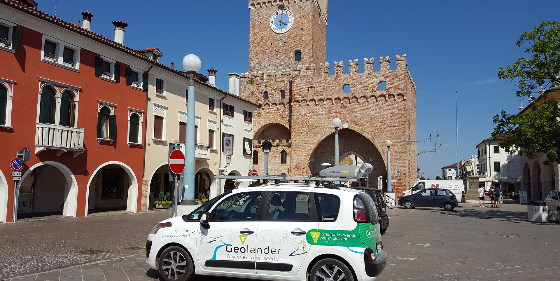
Mobile 3D Mapping System
Having even very point data is not enough to create a digital twin, however; software is needed to enable full integration between sensors and point cloud capture software that can interface with popular geospatial applications.
The software must be able to:
- produce georeferenced data by synchronizing point clouds through precise positioning and efficient data analysis tools;
- be installed quickly without using complex wiring.
LIDAR Survey
The LIDAR survey is carried out using vehicles equipped with laser scanner devices and spherical cameras to capture moving information. The stream from both sources is synchronized with the inferred trajectory from two integrated GNSS antennas, which enables georeferential accuracies of less than 10 cm.
During surveying, it is possible to encounter obstacles that do not allow timely mapping, for example, in the most extreme environments such as densely populated urban areas, under bridges, inside tunnels.
Odometer
The problem can be solved with an odometer distance measurement indicator (DMI) that measures incremental distance as the vehicle travels through wheel rotation. This additional source of information is critical especially in the absence of a primary GPS signal, providing immediate error mitigation. The data are essentially ” merged” together to produce highly accurate information, to which they are supplemented to produce a highly accurate, high-frequency measurement of platform position and orientation of the moving vehicle.
The presence or absence of the odometer is often decisive in obtaining high accuracy surveys, ready for the next phase of restitution.
Wiseland uses a platform for the creation of all different types of City Dashboard.
Wiseland is the first Italian business network for the Digital Twin and is founded by Geolander.it and WiseTown.
