In 2024, local governments finally have the opportunity to direct their governance and planning toward immersive cities through three-dimensional geographic datasets that can be converted into point clouds.
Point clouds
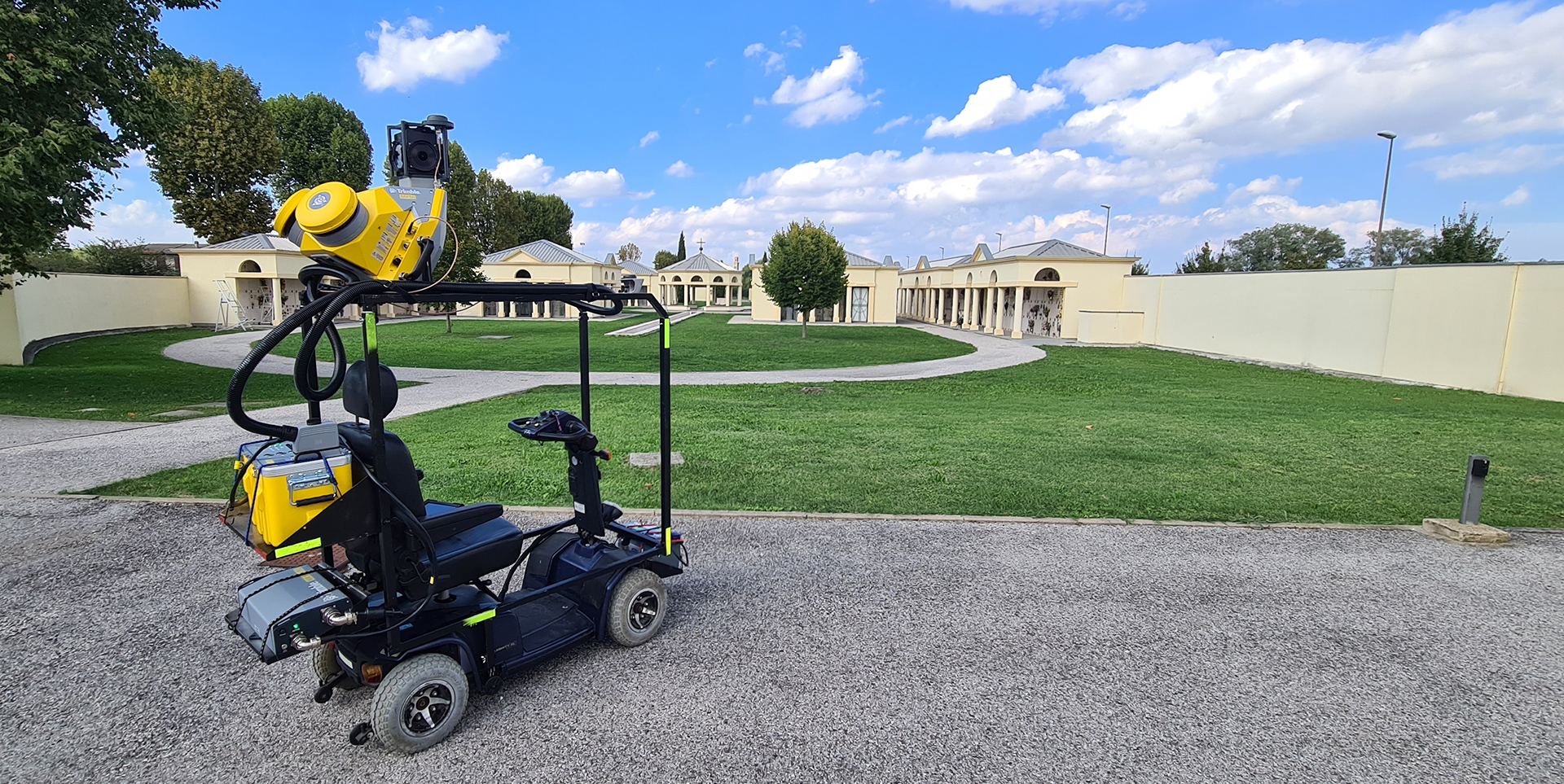
A point clouds is a set of data present in space that is invisible to the human eye but can be captured by advanced technological eyes (Lidar, Laser Scanner, HCam, etc.). Each individual point is placed in an exact geographical location that can be precisely measured using a technology called 3D Geomapping (Three-Dimensional Geographic Mapping). In particular, a point cloud is the basis of a faithful reconstruction of reality, a measurable reproduction of physical elements of the territory; trees, historical properties, cultural heritage, roads, house numbers, infrastructure, etc.
Translating the territorial and geographical reality into a digital model or plastic (Digital Twin) capable of enabling governance activities, improving their effectiveness and lowering costs and dispersions has become a goal within the reach of territorial actors, who can finally make shared decisions, organize the management of actions and anticipate in a predictive way even crisis situations.
Decision makers can also take targeted and non-dispersive action on a wide range of services:
- care of green areas,
- public mobility,
- private mobility,
- fiscal management,
- connectivity,
- safety…
In practice, urban digital twins make predictions about the evolution of the physical counterpart by running simulations on the virtual model, assessing the impact of an intervention before it is implemented, this due to their ability to simultaneously process information from a wide range of datasets.
Geographic intelligence
Digital twins require geographic intelligence, which is an information system that can associate each point with their exact geographic location and process them to extract readable and usable information. This work results in a navigable, high-fidelity immersive map to organize, perimeter and monitor every action and service delivered to citizens.
Digital is often perceived as something intangible and ephemeral, but in the world of the Urban Digital Twin, the impact of each project is absolutely real and produces measurable long-term effects.
Wiseland uses a platform for the creation of all different types of City Dashboard.
Wiseland is the first Italian business network for the Digital Twin and is founded by Geolander.it and WiseTown.
